Premium commercial imagery
Archive and newly collected high-resolution imagery
Commercial Earth Intelligence · Direct Access
Search archive imagery, commission new satellite collections, access Vantor Hub subscriptions, and secure the right licensing and delivery for professional projects. SatelliteImageryAccess.com provides direct, responsive guidance from location and timeline through imagery selection and quotation.
Archive and newly collected high-resolution imagery
Professional usage rights matched to the project
Direct help with product, coverage, and delivery choices
Choose the access path
One location may already have suitable archive coverage. Another may require a new collection, ongoing platform access, a global basemap, or specialized licensing. We help identify the practical route before you spend time or budget in the wrong place.
Define a location or area of interest, search available catalog imagery, compare the essentials, and send selected records for pricing.
Open Imagery Finder →Research historical conditions, visible change, project sites, and past events using commercially available high-resolution imagery.
Explore Archive Imagery →Request a new satellite collection when existing archive imagery does not meet your timing, coverage, or freshness requirements.
Explore New Tasking →Access imagery, maps, terrain, analytics, APIs, monitoring, streaming, downloads, and tasking through one secure subscription platform.
Explore Vantor Hub →Satellite Imagery Finder
Search by location, coordinates, or uploaded AOI. Filter imagery by date, cloud cover, satellite, resolution, and collection geometry, then send selected catalog records directly to us for a professional quote.
Launch Imagery Search →Industry applications
Commercial satellite imagery becomes valuable when the location, timeline, resolution, licensing, and decision behind it are understood. Our industry pathways connect those requirements to the right imagery product and access method.
Monitor distributed infrastructure, surrounding conditions, visible change, and emerging risk.
Explore →ApplicationBring reliable location context to planning, design, progress review, and portfolio oversight.
Explore →ApplicationCompare pre-event and post-event conditions when rapid visibility and documentation matter.
Explore →ApplicationCreate compelling geographic context with the imagery, mapping, and trouble-free licensing productions require.
Explore →Professional support
We help match archive imagery, new tasking, Vantor products, delivery formats, and licensing to the real requirements of your project. That includes clear usage rights for analysis, presentations, broadcast, television, major motion pictures, digital media, and other professional applications.
Discuss Your Project ↓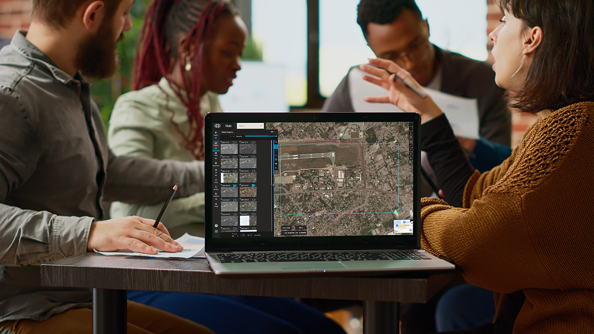

Need ongoing access?
For professional organizations that need ongoing imagery, maps, terrain, monitoring, analytics, APIs, GIS integration, streaming, downloads, and tasking, our dedicated Vantor Hub site explains the complete subscription path.
Expert buyer guides
Clear, practical explanations for buyers comparing imagery cost, archive availability, new collection tasking, licensing, and delivery.
Understand the seven factors that shape a professional imagery quote.
Read the guide →Selection guide · 7 minChoose the right collection path for your date, budget, and mission.
Read the guide →Define the mission
Use this form to request archive imagery, new satellite tasking, professional licensing, product guidance, pricing, or help choosing the right access path.
Include the location or coordinates, date range, intended use, desired resolution, delivery format, licensing needs, and project timeline. Availability and final pricing depend on coverage and project requirements.
Every inquiry is reviewed directly by a satellite imagery consultant. We will respond with the clearest practical next steps for your project.